
 View on LinkedIn
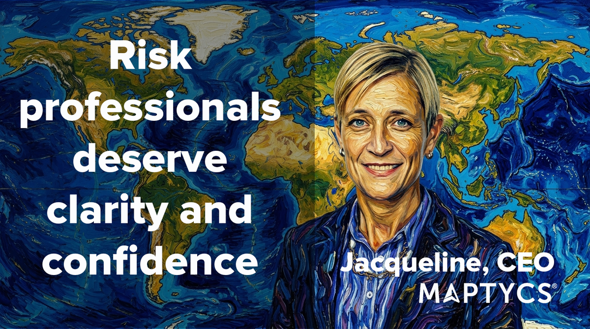
Having worked across brokerage, carriers, and risk management, I know how challenging it is to manage complex property portfolios. MAPTYCS brings together the tools I always wished existed: intuitive mapping, real‑time alerts, and actionable analytics. We built this platform to make risk work easier, clearer, and more strategic.
MAPTYCS is a geospatial risk intelligence solution to assess property and climate risk exposure for a single location or across portfolios, track accumulations of values, develop financial scenarios, and monitor severe weather events in real-time to mitigate and project losses