Risk Analytics & Mapping
Map your entire portfolio against CAT zones in seconds.
Analyze accumulations, peril exposure, and property-level vulnerabilities on one precise geospatial canvas.
Explore Risk Analytics & Mapping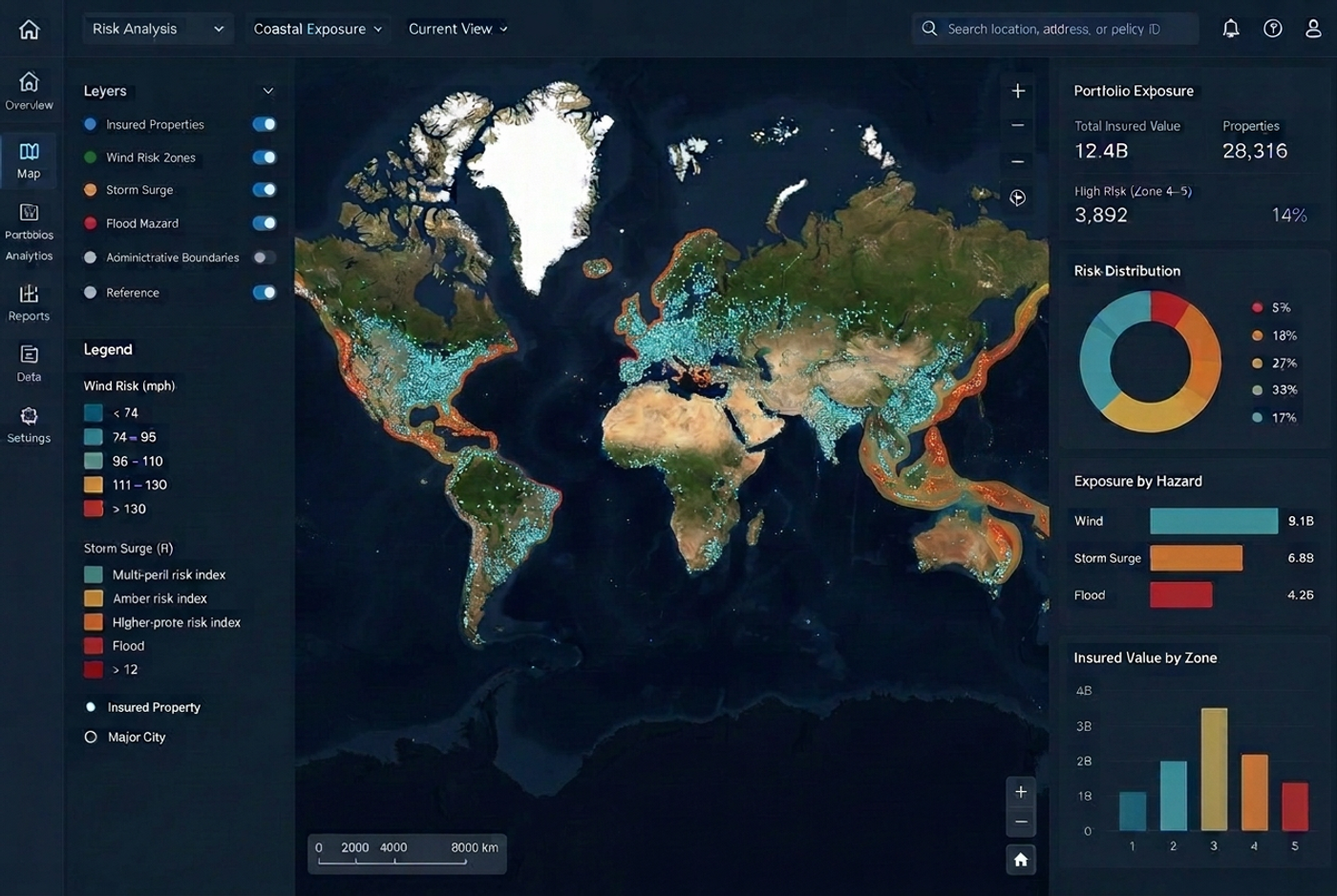
THE MAPTYCS® PLATFORM
Unify portfolio data, hazard intelligence, real-time events, and forward-looking climate scenarios in a platform built for risk management and insurance decisions.
See it with your portfolioAnalyze accumulations, peril exposure, and property-level vulnerabilities on one precise geospatial canvas.
02Enrich internal portfolio data with trusted public and third-party property intelligence.
03Build focused reports and dashboards for underwriting, renewal, and executive review.
04Model portfolio outcomes to assess financial impact on insured values or insurance layers exposed on any geographic perimeter.
05Assess forward-looking physical climate risk using IPCC CMIP6 scenarios across your full portfolio.
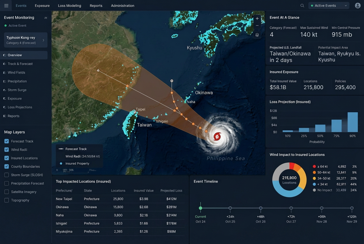
06Track storms, wildfires, and floods as they unfold, then identify exposed locations and estimate impact.
Risk Analytics & Mapping
Analyze accumulations, peril exposure, and property-level vulnerabilities on one precise geospatial canvas.
Explore Risk Analytics & MappingData Augmentation
Enrich internal portfolio data with trusted public and third-party property intelligence.
Explore Data Augmentation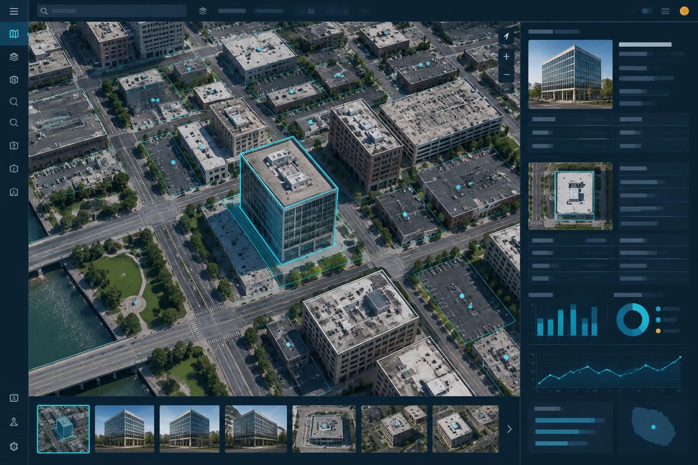
Reports & Dashboards
Build focused reports and dashboards for underwriting, renewal, and executive review.
Explore Reports & Dashboards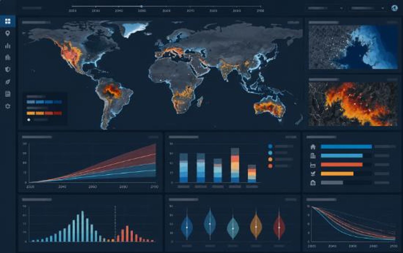
Scenario Modeling
Model portfolio outcomes to assess financial impact on insured values or insurance layers exposed on any geographic perimeter.
Explore Scenario Modeling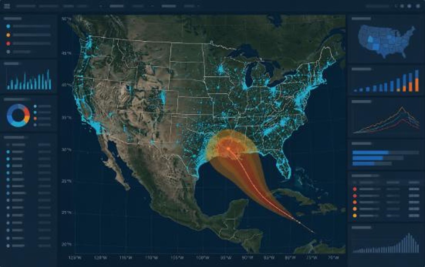
Climate Risk Assessment
Assess forward-looking physical climate risk using IPCC CMIP6 scenarios across your full portfolio.
Explore Climate Risk Assessment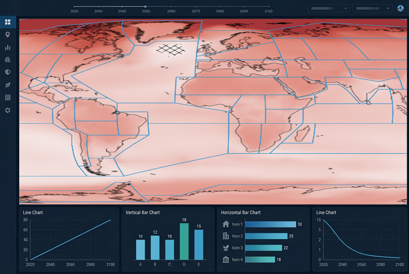
Real-Time Event Monitoring
Track storms, wildfires, and floods as they unfold, then identify exposed locations and estimate impact.
Explore Real-Time Event Monitoring