
 View on LinkedIn
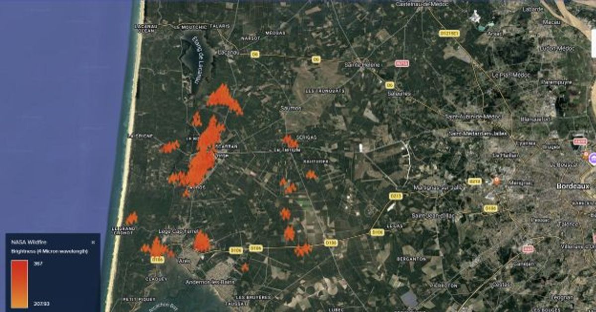
As wildfires spread across several regions in France, we stand with the communities and responders working tirelessly on the ground.
MAPTYCS® integrates NASA - National Aeronautics and Space Administration wildfire FIRMS (Fire Information for Resource Management System) near-real‑time wildfire detection data from multiple satellites 🛰️, to give businesses immediate insights into which assets may be at risk. This level of situational awareness empowers organizations to deploy business continuity strategies proactively.