Enabling risk professionals to make faster, smarter decisions with accurate and timely data
London, UK — 24 April 2025: Riskonnect, the leader in integrated risk management (IRM) solutions with more than 2,700 customers across six continents, has announced a strategic partnership with MAPTYCS®, a leading geospatial intelligence platform, to bring a faster and more streamlined approach to managing property and climate risk.
This collaboration equips corporate and insurance risk professionals with access to accurate, reliable, and timely data, helping them visualize and analyze their property risk exposure with greater speed and precision—at a time when the stakes for risk management have never been higher.
As climate-related events become more severe and organizations face increasing complexity in their risk exposure, the integration of Riskonnect and MAPTYCS introduces a modern, visual-first way to assess, prepare for, and act on potential threats.
MAPTYCS enables users to understand property risk at every level—from entire portfolios to individual locations—making identifying aggregation of values in high-exposure zones easy. By layering proprietary and third-party datasets, including information from NOAA, FEMA, and XWeather, users can gain deeper insights and make faster, more informed decisions.
“Our partnership with MAPTYCS continues Riskonnect’s commitment to innovation,” said Patrick Eslick, VP Product Management at Riskonnect. “In leveraging MAPTYCS geospatial analytics, we’re able to equip our customers with the visual insights to better assess their property risk exposures and provide alerts to key personnel when NatCat events occur.”
“MAPTYCS empowers users to move beyond spreadsheets and disconnected tools to a visual-first, data-rich environment,” added Jacqueline Legrand, Co-Founder and CEO of MAPTYCS. “By integrating with Riskonnect’s platform, we’re giving risk managers a new level of clarity and speed to manage risk and build resilience proactively.”
The integration enhances the insurance renewal process by giving organizations access to the same risk intelligence commonly used by the insurance market. Risk professionals can use these insights to strengthen their negotiation position with brokers and underwriters. And when severe weather events strike, they can swiftly mitigate losses, protect operations, and ensure business continuity.
Riskonnect and MAPTYCS deliver a comprehensive solution that improves risk assessments, reduces claims costs, and empowers organizations to operate confidently in an increasingly volatile world.
—
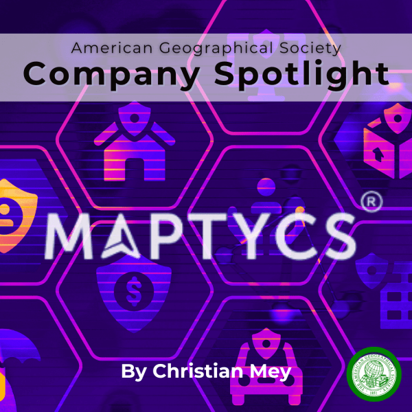
About MAPTYCS
MAPTYCS® is a geospatial solution for property risk exposure analysis and event response. Their platform manages property portfolio data combined with external location risk intelligence data from renowned third-party providers and governmental agencies. It helps risk professionals assess property risks across portfolios or at a single location level, track accumulations of values in any geographical perimeter, and mitigate project losses in real-time.
About Riskonnect
Riskonnect is the leading integrated risk management software solution provider. Their technology empowers organisations with the ability to anticipate, manage, and respond in real-time to strategic and operational risks across the extended enterprise. More than 2,700 customers across six continents partner with Riskonnect to gain previously unattainable insights that deliver better business outcomes. Riskonnect has more than 1,500 risk management experts in the Americas, Europe, and Asia.
Media Contact
Simon Hayes, Managing Director
NextGen Communications E: simon@nextgencomms.com