CAT Exposed Property Continues to Drive Premiums

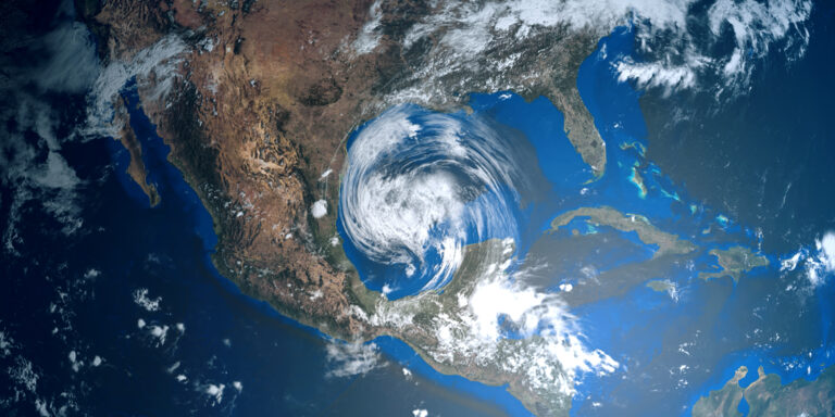
While property rate increases may be slowing, CAT exposed property continues to drive premiums higher for insureds. #underwriters are not only looking at concentrations of assets in traditional CAT zones, such as the Atlantic coast and California in the US, but also globally. According to Marsh, “Property rates were influenced largely by CAT events, including earthquakes in Turkey, floods in Greece and Germany, and hailstorms in Italy.”

At MAPTYCS®, we have built a powerful geospatial tool for Risk Managers and Insurers to track and manage their property exposures for the very CAT events influencing property rates in the market today.

https://www.linkedin.com/feed/update/urn:li:activity:7163154910081998848

Related Posts

As Q4 begins, the 2024 property renewal season is quickly upon us! Maptycs can help by

We are thrilled to share that Maptycs made it again to InsurTech100, the annual list of

It was a busy Sunday in Maptycs with three active tropical storms. 🌀 Tropical Storm Milton

Tropical Storm Helene 🌀 is fast approaching the United States’ Gulf Coast. As the storm intensifies

Hurricane Debby 🌀 is slowly making her way up the East Coast after making landfall yesterday

Tropical Storm 🌀 Beryl is making its way through the Gulf of Mexico! Maptycs clients can

NOAA is predicting an above-normal 2024 Atlantic hurricane season, which occurs June 1 to November 30.

Maptycs was in Toronto this past week spending time with clients and sharing our geospatial property

We are progressing in our innovation journey, and are happy to report that we recently integrated

In 2023, the U.S. saw a record 28 weather events causing over $1 billion in damage,

Maptycs will be at RIMS Risk World 2024 in San Diego this May. We would love

MAPTYCS is an extraordinary product for the increasingly complex world of risk management, bringing clarity, precision,