In chess, the saying “see the whole board” refers to understanding how all the pieces interact with each other and keeping track of all the tactical options – both offense and defense – available. Tunnel vision will very easily result in a quick loss or the missing of a swift victory.
Geospatial visualization is the technological method for risk and insurance professionals to “see the whole board.” We’ve written before on how prevalent – and how problematic – spreadsheets are in business analytics, and one of the core issues is that primarily viewing data points on a spreadsheet can contribute to tunnel vision thinking.
Geospatial thinking adds several extra components of problem solving when assessing risks and identifying actionable insights. Reframing data to include a concept of space opens up valuable new interpolations and extrapolations of data, allowing companies to better allocate resources to where they can most efficiently be utilized. In addition, spatially expressing information enhances awareness and comprehension of data points, ultimately improving the speed and effectiveness of decision making. Rather than scrolling through a 4000+ cell spreadsheet or jumping between different data sets, geospatial visualization quite literally shows you the whole board and transforms the types of conclusions that can be drawn.
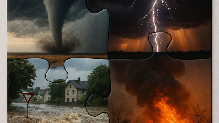
Risk and insurance professionals require a broad understanding of their clients and businesses in order to develop effective risk strategies. Business operations don’t exist in a vacuum, and internal and external factors are deeply intertwined when mitigating the damage of catastrophic weather events. Even small gaps in data and analysis can result in large losses, therefore effective risk management mandates both breadth and depth of knowledge of those complexities. Risks will only become more complex as businesses grow globally and the quantity and quality of data increases. Without seeing the whole board, the blindspots will likely end in a significant loss.