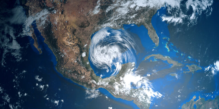
Lessons learned from Hurricane Ida

Real-time evaluations of Hurricane Ida have allowed insurers to prioritize those most impacted by storm damages and effectively allocate resources. Proactive preparation for severe weather events dramatically helps mitigate losses, and while the damage from Hurricane Ida is extensive, initial reports show that Ida has been significantly lower than Hurricane Katrina.

Maptycs provides real-time notification and dynamic geospatial reporting for risk and insurance professionals to stay prepared and protected. Connect with our team to see how other clients are identifying actionable insights hidden in their risk data.

#risktech #insurtech #riskmanagement #HurricaneIda

Related Posts

Tropical Storm 🌀 Beryl is making its way through the Gulf of Mexico! Maptycs clients can

NOAA is predicting an above-normal 2024 Atlantic hurricane season, which occurs June 1 to November 30.

Maptycs was in Toronto this past week spending time with clients and sharing our geospatial property

We are progressing in our innovation journey, and are happy to report that we recently integrated

In 2023, the U.S. saw a record 28 weather events causing over $1 billion in damage,

Maptycs will be at RIMS Risk World 2024 in San Diego this May. We would love

MAPTYCS is an extraordinary product for the increasingly complex world of risk management, bringing clarity, precision,

According to the SwissRe Institute, global insured losses from natural catastrophes exceeded $100 billion for the

MAPTYCS is excited to announce our new strategic partnership with Tensor Flight. Having best in class

Meteorologists are predicting a challenging hurricane season ahead. The current El Niño pattern has brought unseasonably

Integrating new data into underwriting and risk management is critical. With advancements in sensors, aerial imagery,

According to this recent article in Insurance Journal, companies are trying to figure out how to